The first three pictures do not have larger versions. What you see is what you get. The picture of Weston CP Station does have a larger version.
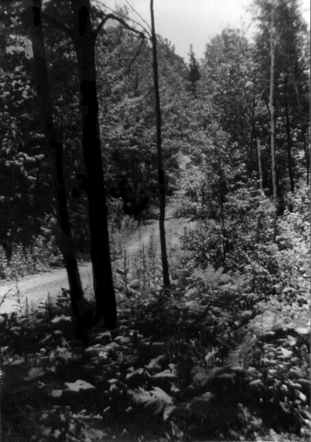
This is a picture of Weston Road somewhere in the neighbourhood of King Sideroad. This is typical of what the north-south line roads such as Jane, Keele, Dufferin and so forth were like at the time, that far north of the city.
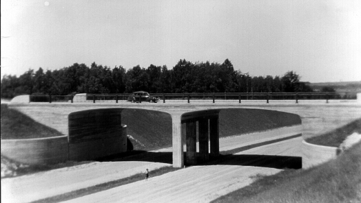
Here is a picture of Highway 400 going under Highway 9 (just south of Holland Marsh). There was only the gravel roadbed, and even that stopped a few hundred metres further north. My brother Vincent is standing on the highway, something I don't think he would like to do 50 years later!
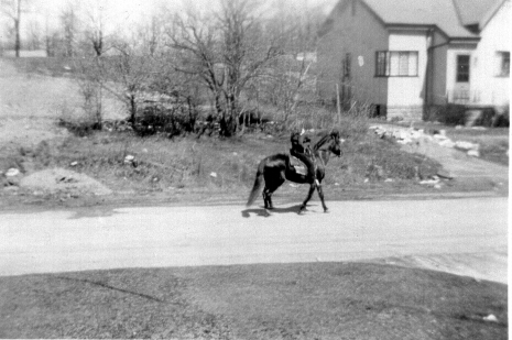
This was taken from our house on Church St., Weston, about a block from Jane St. The Humber Memorial Hospital site was beginning to be constructed just off the picture to the left. I have no idea who the rider was. This road also was gravel. After 1952 we lived in a house just over the rise to the left of this picture.
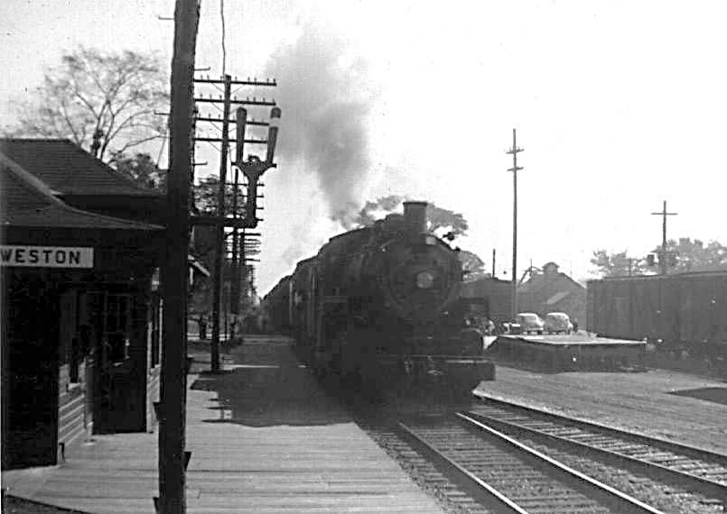
Train 953 coming into the CPR Weston Station (the CN station is in the background, with John St. crossing the tracks between them).We used to deliver telegrams to the community from this station. Clicking on the picture gives you a bigger version.